
Alwen Reservoir, near Denbigh
Walk or cycle around this huge upland reservoir
Pont Llogel is a small woodland within Dyfnant Forest.
There is a short walk through the woodland along the River Vyrnwy.
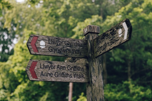
Two longer walks leave from the car park and the Glyndŵr’s Way National Trail goes through Dyfnant Forest here.
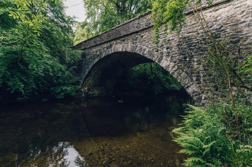
The car park and picnic area is set beside an old stone bridge at the edge of a hamlet.
The walking trail is waymarked from start to finish.
Look out for the information panel at the start of the trail.
Find out about walking trail grades.
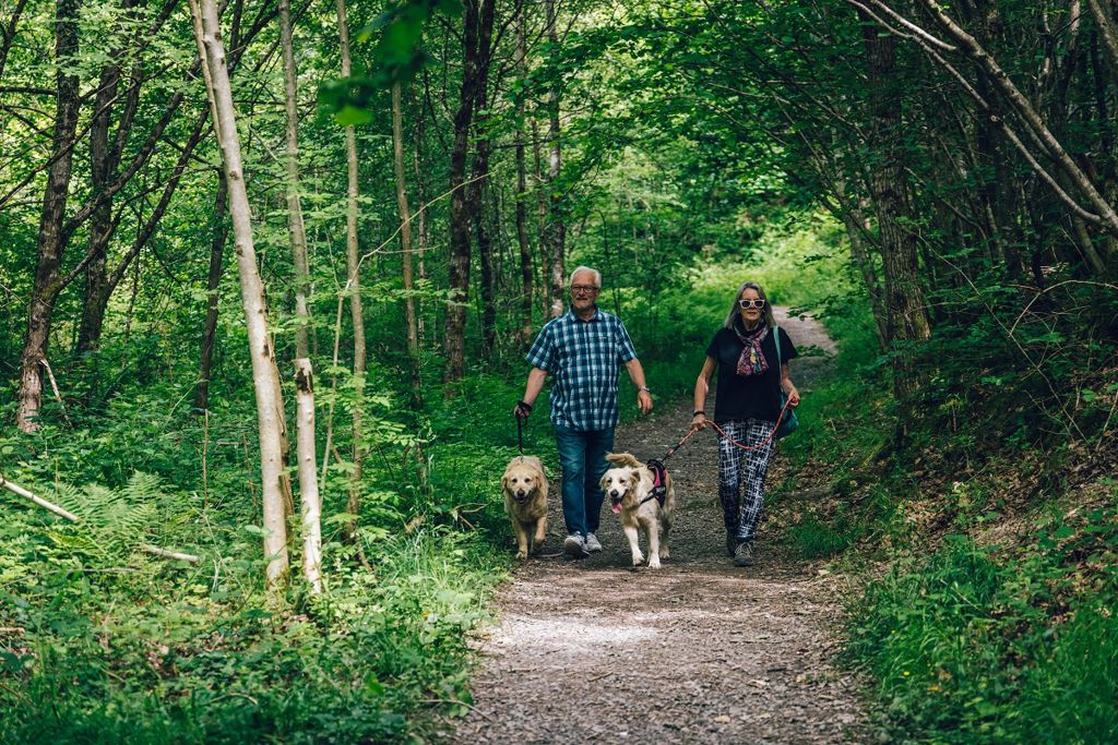
The Pont Llogel Walk is a sheltered trail through mixed woodland alongside the River Vyrnwy.
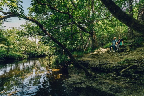
The wide and level path follows the riverbank to a wooden bench where you can enjoy the sound of the water and birdsong.
From here, you can either return the same way or follow the higher level path through oak trees if you don't mind steep sections and steps.
There are views through the trees to the hills before the path drops down to the riverside and follows the main trail back to the car park.
We recommend that you take an Ordnance Survey map or walk guide book to follow these routes.
This walk commemorates a famous 18th century hymn writer.
It starts from the Pont Llogel car park and finishes at the Hen Gapel John Hughes in Pontrobert.
The route follows the River Vrynwy, taking in a variety of landscapes and visiting many of the places associated with Ann Griffiths’ life.
It is 7 miles/11 kilometres each way and is managed by Powys County Council.
This walk traces a route between the Vyrnwy and Tanat Valleys, trodden in centuries past by pilgrims, quarrymen and drovers.
It starts just over the road from the Pont Llogel car park and finishes at Llangynog.
It is a challenging walk with long climbs linking the valley floors with huge tracts of open moorland.
It is 15 miles/24 kilometres each way and is managed by Powys County Council.
The Glyndŵr’s Way National Trail passes through Pont Llogel Wood.
For more information go to the Glyndŵr’s Way website
Pont Llogel Wood is within Dyfnant Forest.
Dyfnant Forest is an upland forest on the edge of the Cambrian mountains just south of Lake Vyrnwy.
The forest is made up of large areas of conifers and pockets of native deciduous trees.
It is well known for its horse riding and carriage driving trails on scenic tracks.
We want you to return home safely after your visit here.
You are responsible for your own safety as well as the safety of any children and animals with you during your visit.
For advice and tips to help you plan your visit here go to Visiting our places safely.
See the top of this webpage for details of any planned closures or other changes to visitor facilities here.
For your safety, always follow instructions from staff and signs including those for trail diversions or closures.
We may divert or close trails whilst we undertake maintenance work or other operations and we may need to close other visitor facilities temporarily.
In extreme weather, we may close facilities at short notice due to the risk of injury to visitors and staff.
You may need permission from us to organise an event or to carry out some activities on our land.
Check if you are allowed to use our land.
We recommend you follow these directions or use the Google map below which has a pin on this place’s location.
Pont Llogel Wood is 18 miles west of Welshpool.
From Welshpool take the A458 towards Dolgellau.
After 14½ miles, just after the village of Llangadfan, turn right, signposted B4395.
After 2 miles, continue past the Pen y Ffordd car park and after a further 2 miles into the hamlet of Pont Llogel.
The car park is on the right immediately after the stone bridge.
The Ordnance Survey (OS) grid reference for the car park is SJ 032 154 (Explorer Map 239).
The postcode is SY21 0QG. Please note that this postcode covers a wide area and will not take you directly to the entrance.
View this place on the What3Words website.
The nearest mainline railway station is in Welshpool.
For details of public transport go to the Traveline Cymru website.
Parking is free of charge.
Overnight parking is not permitted.
There are no staff at this location.
Contact our customer team for general enquiries during office hours, Monday to Friday.


